Maxar and Saab have announced a new defense tech agreement aimed at creating multi-domain drone solutions with space-based features.
Through the deal, Maxar will supply satellite maps and 3D terrain visuals, enriching Saab’s weapon systems.
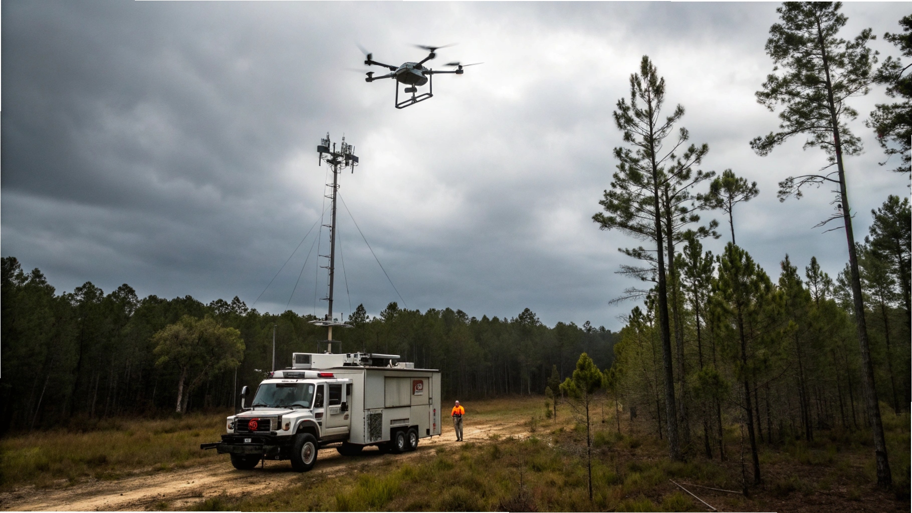
The collaboration seeks to improve autonomous drone operations where GPS is denied or compromised.
It builds on existing joint work, including trials of Raptor, Saab’s proprietary navigation software.
Raptor uses camera data and terrain analysis for GPS-independent positioning of drones in flight.
Maxar’s massive terrain dataset—covering 90 million km²—helps compute ground points and aerial accuracy in real-time.